GigaScope Suite applications for large-scale infrastructure data
Professional Tools for Gigascale Field Data

Take on Massive Data

GigaScope Suite

A suite of professional desktop applications built for the massive and complex datasets collected through fieldwork.
See the whole picture, uncover critical details, and turn field data into practical deliverables.

Product Lineup

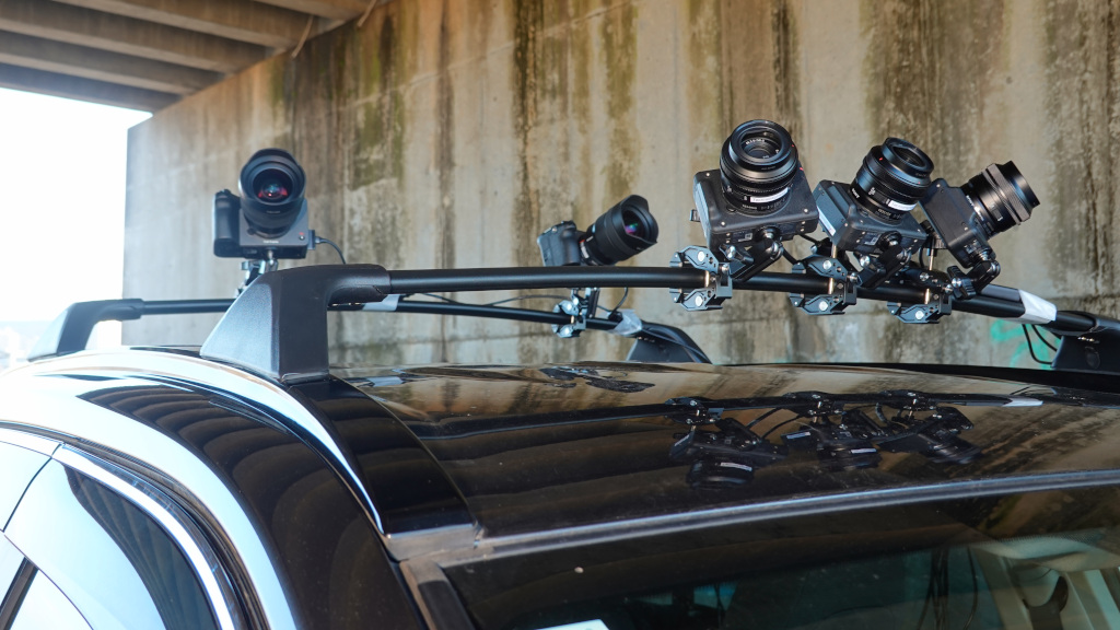
Control up to 24 Sony cameras simultaneously.
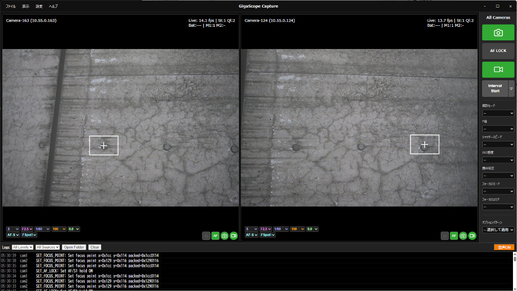
Monitor and control cameras connected over wired or wireless networks from a single screen.
Streamline synchronized and multi-camera capture, and move large image sets seamlessly into downstream workflows.

GigaScope Capture main window
Capture management in GigaScope Capture
View details
Multi-Camera Simultaneous Capture Centralized Control

AI-powered damage detection, image correction, tracing, and editing.
Navigate large orthophotos smoothly, from a full overview to fine details.
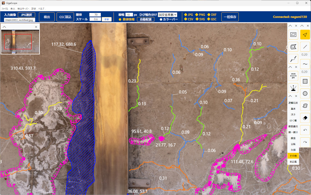
Complete the entire process—from automatic detection to final damage drawings—in one workflow.

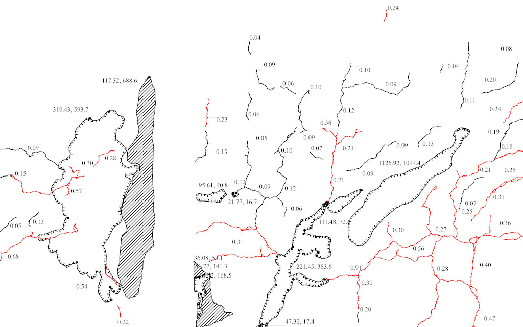
GigaScope TraceMaker main window
Editing in GigaScope TraceMaker
View details
AI Damage Detection Huge Images Damage Drawing

Integrate field data by location and structural context.
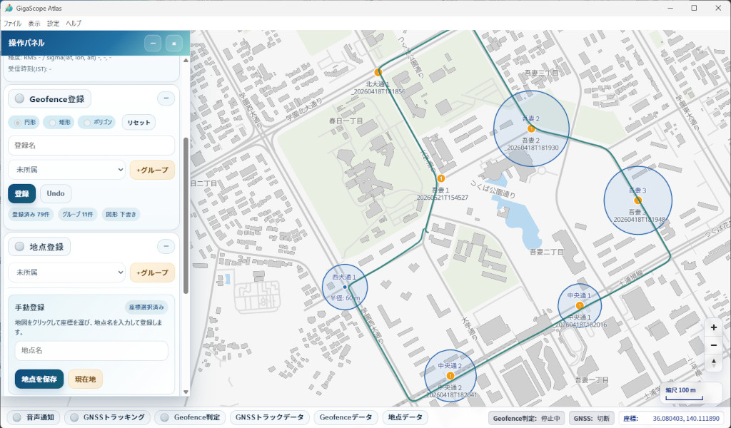
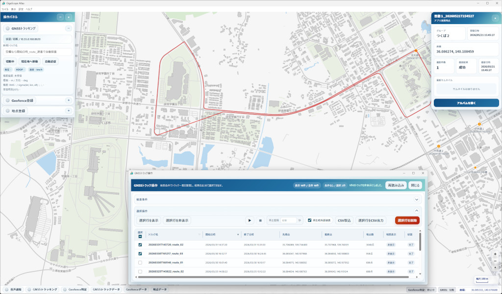
Manage structures, components, photographs, drawings, and related records while supporting on-site imaging.
Organize and retrieve information through a unified, map-centered workspace.

GigaScope Atlas main window
Data management in GigaScope Atlas
View details
GIS Structural Hierarchy Media Management

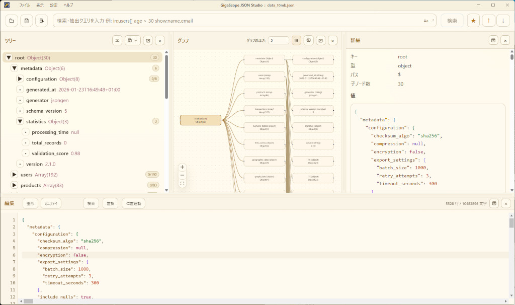
A visual workspace for viewing, searching, editing, and analyzing JSON data.
Work with JSON, JSONL, and GeoJSON files, and import data from CSV.
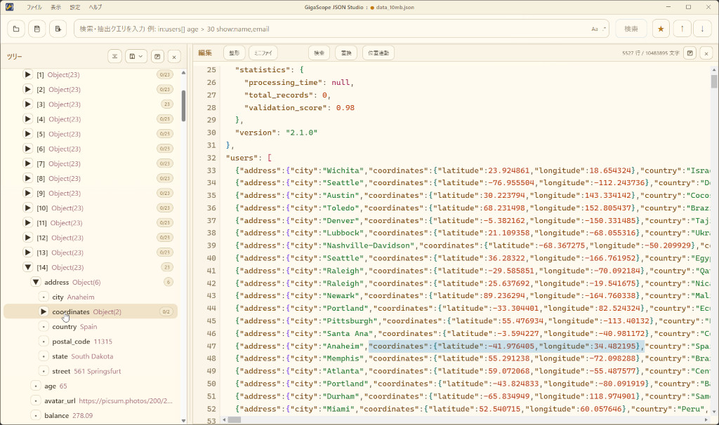
Synchronized tree and graph views, together with an editor and search results, help you quickly find and focus on the information you need—even in very large files.

GigaScope JSON Works main window
Data exploration in GigaScope JSON Works
View details
JSON Synchronized Views Large Datasets

Technology

Core Technology

Built to Handle Massive and Diverse Data

Quickly reach the information that matters, then move seamlessly from exploration and analysis to editing and output.
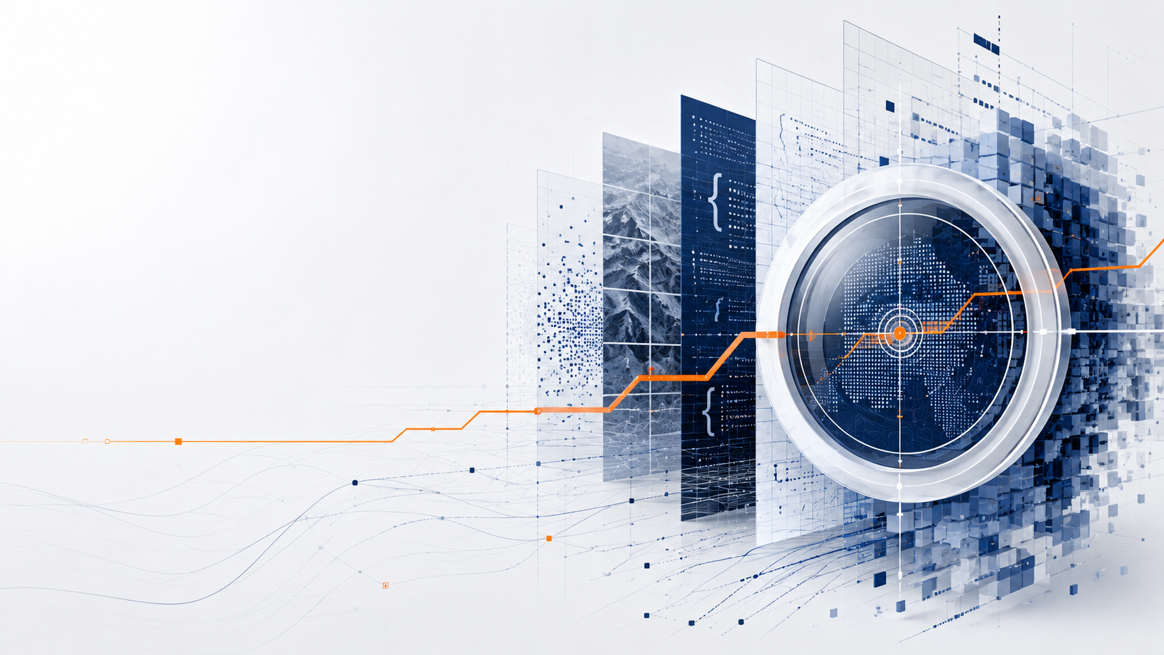
Each GigaScope application uses processing and visualization technologies designed for its data—whether images, text, numerical data, signals, or spatial information.

01 See Understand the complete dataset
02 Focus Quickly reach the information you need
03 Act Review, edit, and analyze in context
04 Deliver Export drawings, reports, data, and results for use in other applications

Challenge

Make Sense of Growing Data at Every Scale—and Turn It into Reliable Results

Connect high-resolution images, video, drawings, inspection records, logs, and other field data to location and structural context, making the information easier to understand and use in real-world workflows.

Record Images, Video, Drawings Preserve field conditions in detail as reliable primary records.
Context Location and Structure Organize information by location and structural hierarchy.
Decision Analysis Turn inspection findings and analysis results into practical, usable deliverables.

Approach

Connect Time, Location, and Structure Across Multiple Scales and Viewpoints

Relate growing volumes of imaging and inspection data to time, location, structural context, and analysis results, enabling users to move from a complete overview to specific details without losing context.

  • Move quickly to the area you need while keeping the entire dataset in view
  • Navigate seamlessly between overview and detail through links among location, structure, and media
  • Continue from review and editing to final deliverables within a consistent workflow

Contact

Contact Us

Send us your questions, implementation inquiries, or other requests using the form below.

Contact Form
https://technohighway.co.jp
contactus@technohighway.co.jp
2-5-1 Azuma, Tsukuba, Ibaraki 305-0031, Japan  +81-29-879-5401